
From August 2021
Before leaving Perkins Park, I checked my Google Maps multiple times to try to figure out the best way to get to my next destination: L'anse, Michigan.
I couldn't figure out why Google Maps wanted me to go back east to Marquette to pick up Hwy 41 and make a big 93 mile circle to get to L'Anse. As the crow flies, L'Anse was only 50 miles away from Perkins campground. Sometimes, my laptop gives me more route options, so I checked there. Sure enough, I found a direct route that was only 49.8 miles away. And it would save 24 minutes of time. Hmm, I can deal with lower speed limits and winding roads, right?
The first 45 minutes went pretty well: paved roads and then hard packed gravel through dense forest. The gravel roads went up and down some steep hills. Around the Eagle Mine, I lost my last bar of cell reception, and the road started getting worse: a mix of sand and gravel. A few miles more, and I hit deep sand. Optimistically thinking that the deep sand was temporary and that the road was still flat, I continued on until I was blocked by a big hill.
There was no place to turn around, and the sandy road was quite narrow. I felt like if I could make it another three miles, the road would get better. However, even with four wheel drive, I didn't feel good about towing the Scamp up the big hill in deep sand. I backed up about a mile to where the sandy road flattened enough to attempt a turn around. As backing goes, it wasn't very pretty and took a long time.
Forest crowded the truck on both sides of the road, but the terrain was flat, and there was a small grassy fringe off one side of the sandy road. I backed the Scamp off the road until I ran out of grassy fringe, and then started about a 100 point turnaround. I had the Scamp backed into the trees, and the truck scraping through branches on the other side of the road. The good thing, I guess, is that there was no traffic on this road to obstruct. I hadn't seen another vehicle since the pavement ended.
Eventually, I was back on the road to Perkins campground again. The shortcut was supposed to be 80 minutes to L'Anse. The aborted shortcut and return to Perkins and route to L'Anse via Marquette took about 3 1/2 hours. I was very relieved to pull into my slot.

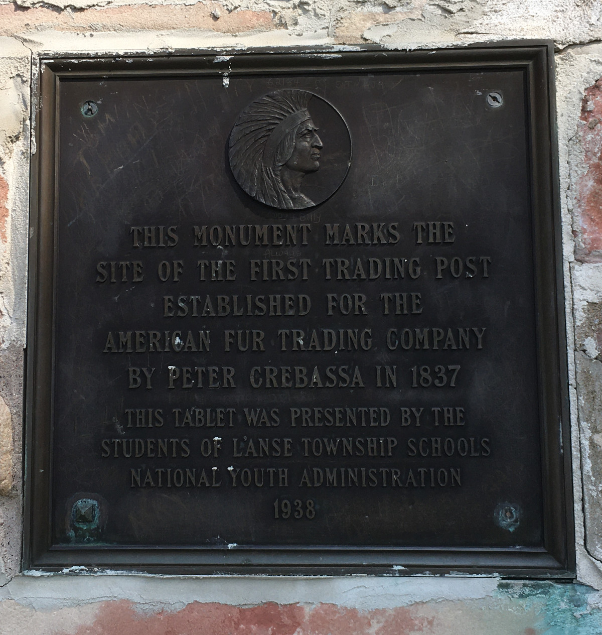
Just below my campsite marked the spot of an American Fur Company trading post in 1837.


2 comments:
Ahhh! Another one of life's little adventures.
Almost a misadventure.
Post a Comment