We hiked about 0.5 miles from our campsite through the rest of the campground and down the campground road leading to the picnic area, where the trailhead is located. The limited parking area fills up during the day, but there were no cars or hikers in the early morning when we started our hike.
This was a 4.2 mile double loop hike with about 1400' of
elevation gain, topping out at just over 8000 feet. Parts of the trail were marked by
fire and beetle kill. Unlike Dadd's Gulch, where the soil was literally still scorched, there were optimistic signs of new growth on this mountain.
The first part of the double loop is the "Kreutzer Nature Trail, which climbed sharply up switchbacks. Most nature trails in Wisconsin are wheelchair accessible or at least very mild and flat for the mobility impaired or seniors. This was not that kind of nature trail.
We hiked clockwise, as recommended. The second loop climbed even more steeply than the first, but then suddenly flattened. We walked through a stark landscape that evidenced both the fire damage and the renewal of life.
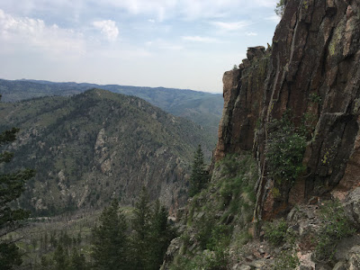
Some peaks don't pay off with a big view at the end. This one did. So we hiked it again the next day.


 is
is


1 comment:
Ahhh That's better!
Post a Comment