


There is an active industrial building across the street–Merit Gear. There is some truck traffic during the day, but it was quiet at night. I was set up by 7p.m on Thursday night, picked up some tortilla chips and a six pack of Lakefront Brewery’s IPA at the grocery store, and watched a little television before falling asleep by 10 pm.
Day Two: Today, I woke up early, ate my granola, banana, and yogurt, brewed coffee and was hiking on the City trail by 7:30 a.m. Unfortunately, I walked in the wrong direction (towards downtown), so I ended up walking about 3 miles. This was a sign of things to come. For a municipal trail, there were some nice views and a great boardwalk through area wetlands.


Back at the Brew Hut, the lazy part of me wanted to read a book and take the morning off. However, that little voice in my head (maybe it was my wife, Julia), told me to hit the road and get some serious hiking in. Leaving the Brew Hut behind, I drove the Nissan Frontier northwest, entering the Chequamegon-Nicolet National Forest. One of my goals was to scout out future dispersed camping spots for the Brew Hut on future trips. That didn’t work out so well. I’m sure there are spots (although I haven’t found mention on-line), but I didn’t find anything suitable. Eventually, I drove by the a sign for the Jones Springs Trail. Several loops were available, although there was a warning about high standing water and flooded streams for a small sector of the trail.

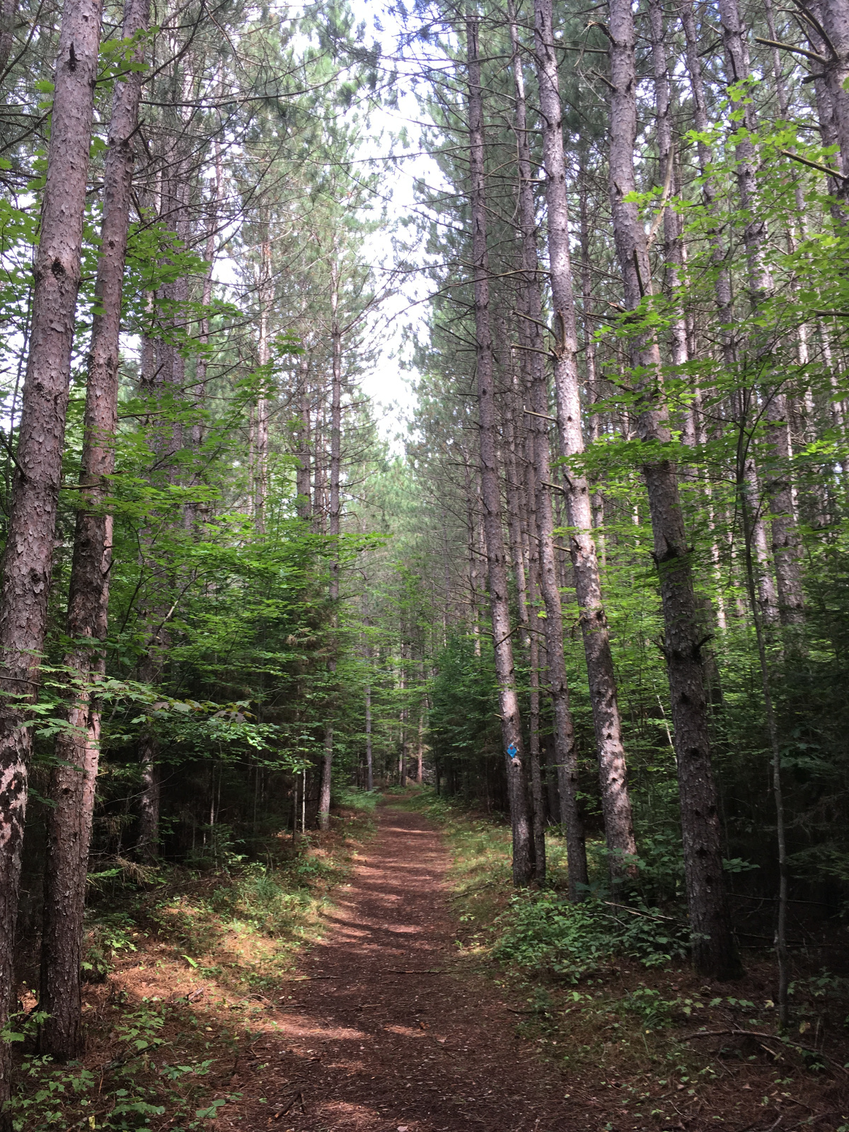
Being a former Appalachian Trail thru-hiker, I sometimes ignore warnings, such as this one, thinking that I don’t mind getting a little wet or that the warning was intended for casual hikers, not me. The red loop was about 6.4 miles, per the map. 80% of the trail was beautiful, mostly following up and down ridges. Sometimes, the hills were challenging. There were a few beautiful backcountry campsites for tenters.


With just a couple of miles left in the loop, I came across this:

The police tape did give me pause, but I noticed that there were no signs actually closing the trail. It was only a short distance to finish the loop. I felt confident that I could pick my way across any water hazards. The first mile was easy and dry. After that, I noticed a lot of dead trees across the trail–as though no one had maintained it for some time. Then the trail dipped just a little in elevation, not much, but enough to notice some water ahead. I started across logs that someone had evidently put across the beginning stretch. After that, the logs ended, and there was absolutely nowhere to go. The water beyond was more than a foot deep, and there was deep mud under the water.
I started back across the log to firm ground, so I could re-evaluate the situation. Boom–I fell to the right, my right leg going into the mud about calf high before I pulled it up again. Okay, going across wasn’t going to work. I looked to the right and left to see if there was a way around. Nope, water and mud as far as I could see. So I walked back to my little police tape scene and continued on to see if the orange loop was open. Nope, more police tape. I went back to my map, and it appeared that the “small” part of high water blocked my way to completing any kind of loop. At this point, I might have said “Fiddlesticks” or some similar expletive. I was stuck and was going to have to do a complete reversal of my path. At least I knew it was a pretty hike and higher ground. All the same, it turned into a 12 mile in and out, instead of a 6.4 mile loop. That gave me 15 miles for the day.
I felt like I deserved a good meal. T-bone with fried plantains on the cast iron skillet. Along with a glass of homemade chardonnay, I had enough motivation to blog tonight.


No comments:
Post a Comment